Web maps for exploring NC's new state legislative districts
NC candidate filing is 12 days away—do you know where your districts are? These maps might help.
[Update, 9/14/2020: many of the links in the post below no longer work. For updated, functioning maps with precincts, please see this Twitter thread. Thanks!]
Candidate filing in North Carolina opens in 12 days and closes a month from today—do you know where your districts are?
You'd be forgiven if you didn't. The North Carolina General Assembly's main redistricting page is, as of today, still presenting the old 2018 districts. In fact, the introductory overview text doesn't reflect any litigation or changes that have happened since early 2018. But a lot has shifted.
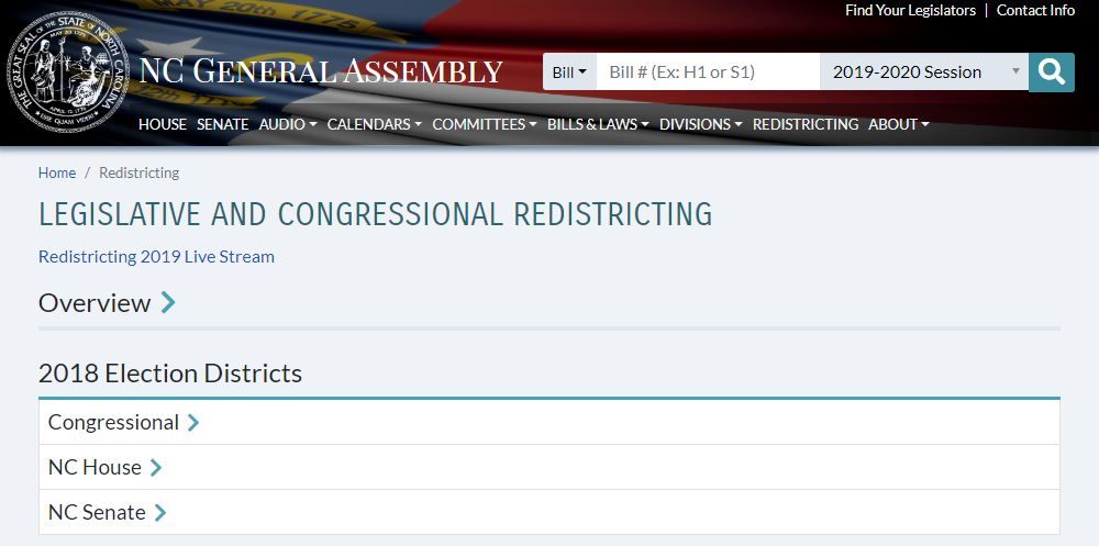
The 13 congressional districts are still subject to court review as of this writing, but more than half of the legislative districts were redrawn and are now set. But it's hard to find anything other than static maps—and even those aren't so easy to find. More on that later.
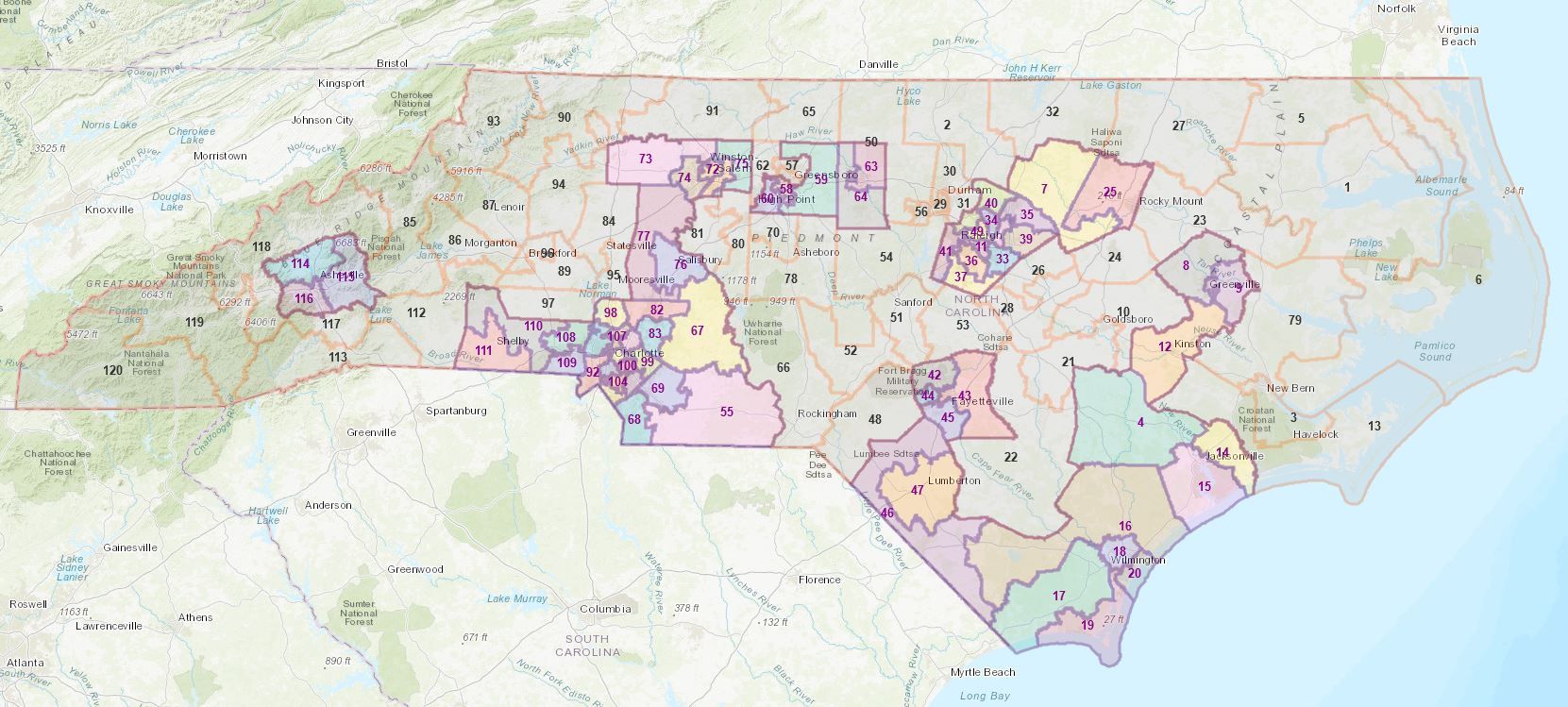
To help fill the void, I created an interactive map of the new NC State House districts, a screen shot of which is below. Gray means unchanged, and color indicates a new district.
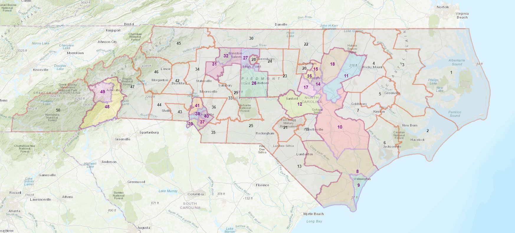
I published an equivalent map for the NC State Senate as well:
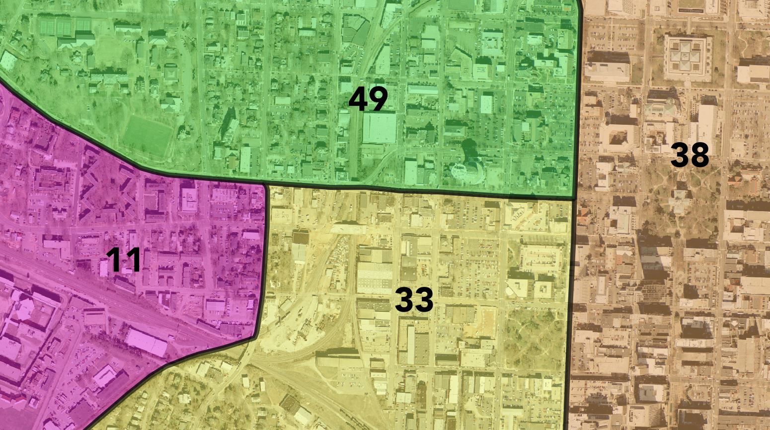
You can zoom in and see details like how the Wake Forest University campus is divided between two House districts, a situation whose back story may be different than what you might expect.
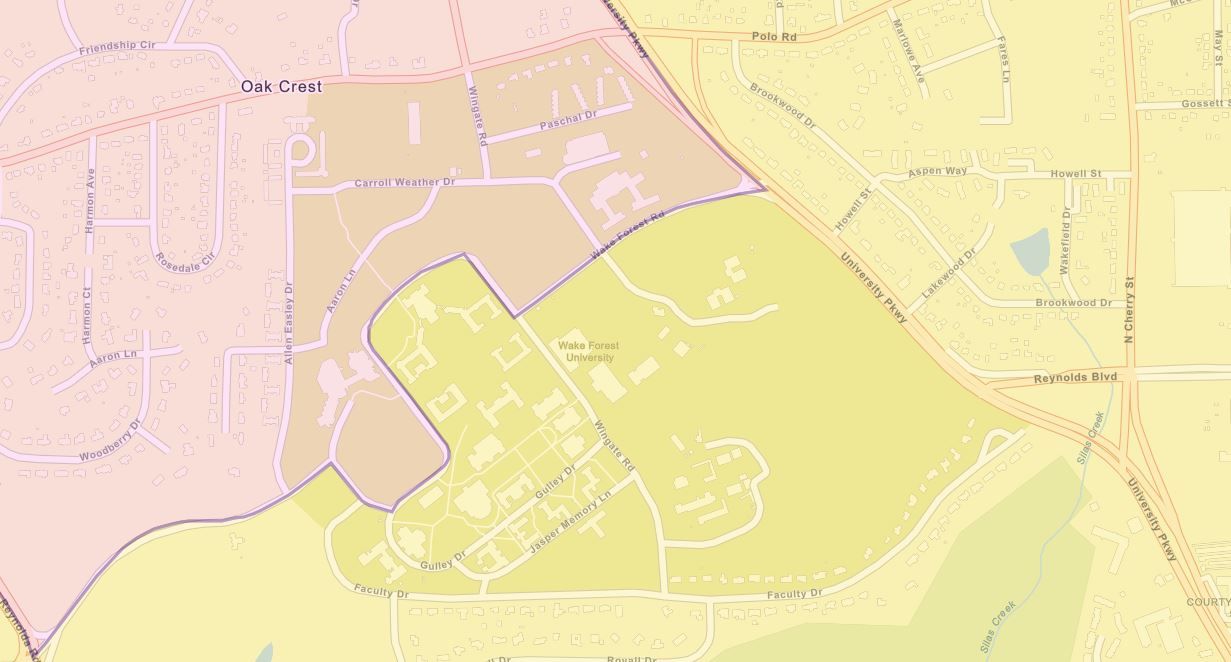
The Wake Forest example reminds me that the interface has a search window in the upper right that lets you type in an address, a county, or even a landmark like the name of a college or University, then zoom right there.
Otherwise, the map interface should be pretty familiar and self-explanatory, but here are a few features that may not be obvious:
- You can view the precincts by turning that layer on or off under the "Content" tab on the left-hand side. They're only visible when you zoom in to viewing roughly one county (or closer in), though.
- You can change the base map if, for example, you'd like to view aerial imagery. Click on the "Basemap" tab.
- If, with the precincts turned on, you find the map too cluttered and you just want to focus on the precincts, you might switch to a simpler basemap like "Light Gray Canvas."
To be fair, I discovered today that if you hunt for it, you can find sort-of similar interactive views on the NCGA web site. If you go to their "District Map Viewer" page, then click on the icon that looks like a stack of books, you can check the boxes of the districts you'd like to see, including the new legislative plans:
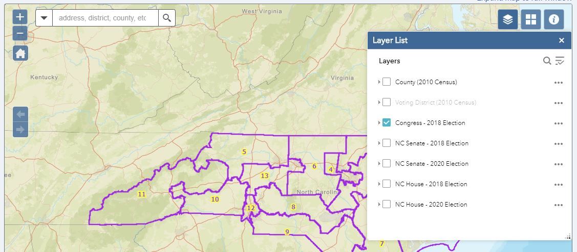
It's interesting to me that three of the five choices for district plans provided in that menu—including the one that's visible by default—are ones that are now invalidated. Note that they do offer the option of turning on a VTD ("Voting District") layer, but that those can be slightly different from the actual voting precincts from the Board of Elections that I included in the maps I posted. (In drawing the maps, legislators made efforts to reduce splitting of VTDs, but not necessarily precincts.)
As I mentioned above, a lot of related information is available, but not in the places you might expect. If you're interested in checking out the source material—and other documents like statistics for the districts—you can check out the links below.
- I got the new House plan details from the HB 1020 page.
- The new Senate plan details are from the SB 692 page.
- The precincts are from the State Board of Elections FTP site, and you can also find the shapefiles for the new districts there, if you look in the right place.
One other clarification: while most of the districts that changed in 2019 were redrawn in September as a consequence of a partisan gerrymandering lawsuit, there were some districts in Wake County that were modified earlier in the year, actually as a result of litigation following a racial gerrymandering lawsuit.
Lastly, I would be remiss if I didn't acknowledge that the publishing of the two maps today is made possible by Lenoir-Rhyne University, where I serve as adjunct faculty. Thanks, LRU!
