Exploring the Overturned NC Senate Districts

Each time that a court has decided that a group of North Carolina's legislative districts were unconstitutionally racially gerrymandered, it makes for pretty big news – understandably. But each time, the coverage fails to provide a listing of the districts, a map of them, or even a basic description of where in the state they are.
After the lower court decision, I went looking for an answer to the question "exactly which NC Senate districts were overturned?" and it took quite a chunk of time before I found the answer buried inside a legal document.
Then, last month, anticipating the SCOTUS decision, I created a very basic map showing the nine districts and later shared it on Twitter (as @mapwrench). Others quickly shared the map, and the response was overwhelmingly positive.
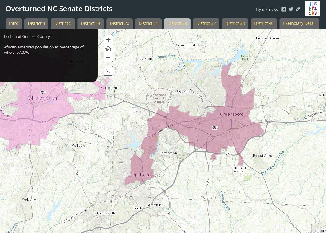
But I wanted to provide more information than those small, static maps could convey. Yesterday I built an interactive map using Esri's Story Map platform. Here's a shot from a largish screen:
This web app allows you to select and view the districts one by one, quickly zoom and pan around as you wish, and provides some basic data about each district. I'm embedding the app below, but on this blog format, it's limited to the width of this paragraph. If you're on a large screen, you can use the bigger version here.
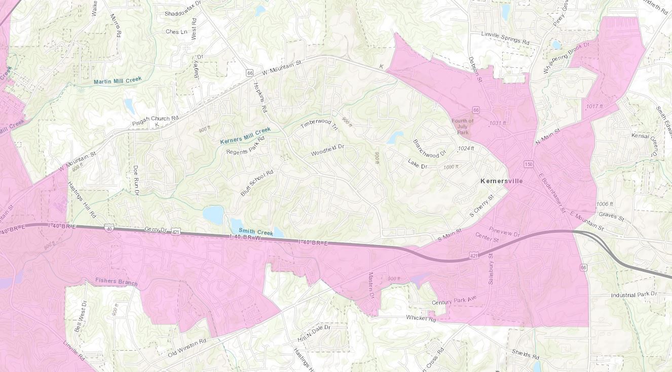
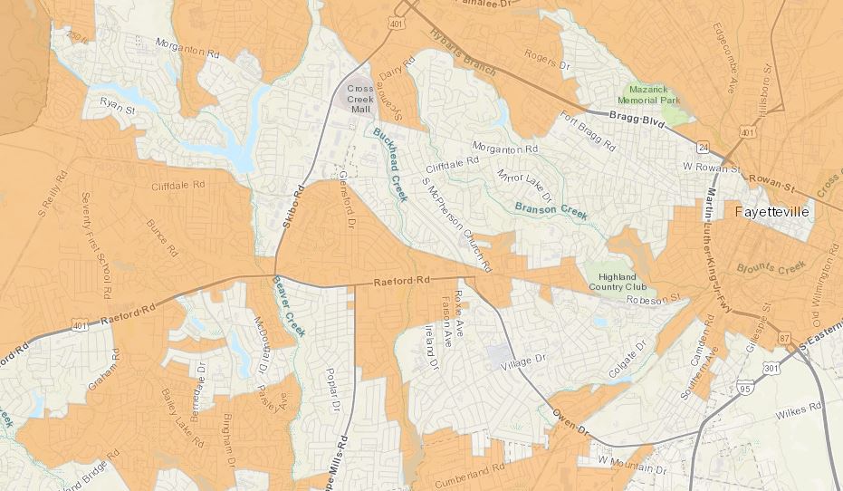
Click/tap the "i" button in the top right for more information.District 21 wins my personal prize for the flagrancy of its convoluted boundaries – the ability to zoom in to the street level allows you to see just how precise and surgical the micro-targeting has become.
In the future, I'd like to add more statistics for each district, as well as a guided tour with descriptions of some of the particularly telling features of these areas. But I wanted to get this out quickly, in case the next anticipated court ruling related to these districts happens this week. (And I'm working on one for the House districts as well.)
Please do explore the map and share it if you see fit.


