
And now ... the Overturned NC House Districts Map
Late yesterday, we learned of another hearing related to the upcoming redrawing of legislative maps and special election to follow.
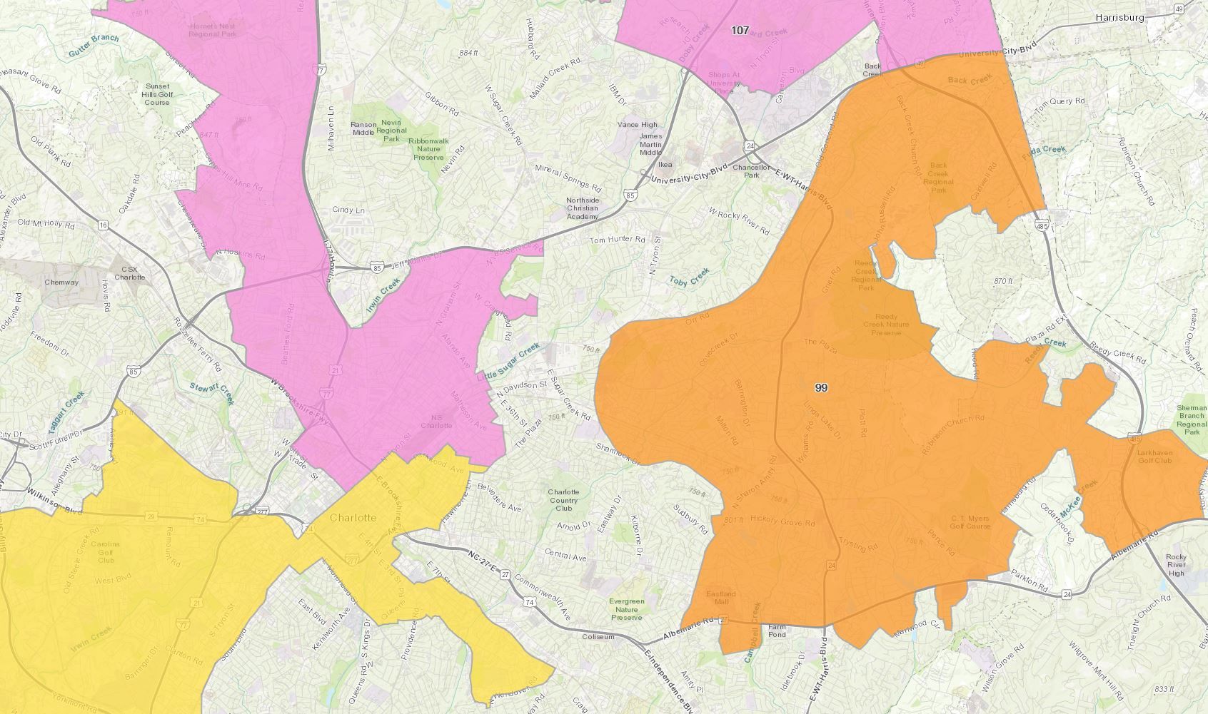
My previous post introduced an interactive map of the NC Senate districts that were determined by the U.S. Supreme Court to have been racially gerrymandered.
Now it's time to show the same for the House districts. I'll insert/embed it just below – if you need more guidance, check out the paragraph that follows.
This web app allows you to select and view the districts one by one, quickly zoom and pan around as you wish, and provides some basic data about each district. Click/tap the "i" button in the top right for more information. When I embed the app (like I did above) on this blog format, it's limited to the width of this paragraph. If you're on a large screen, you might enjoy the bigger version.
I find it interesting that there are some areas with an overturned Senate district, but no House district (e.g., Forsyth County) and some that are vice-versa (e.g., Bertie, Gates, and Hertford Counties). Perhaps I'll put together a map to make these differences easier to see.