
44 Years of Redistricting Consequences in 14 Seconds
This motion chart animation highlights the supercharged packing and cracking of U.S. Congressional districts in 2011, and the effects on election outcomes.
I don't remember ever having seen a motion chart used to illustrate gerrymandering. But after watching a Hans Rosling video, I got to thinking about how his method of animation showing change over time might shed light on the topic – particularly the supercharged packing and cracking in certain purple states after 2010.
Since Google dropped its support for motion charts earlier this year, I've been experimenting with Charté. A first effort is below, highlighting the alphabetically convenient "M-N-O-P" battleground states. Look for the split around the 50% line starting in 2012, indicating the disappearance of competitive races:
Worth noting:
- You can pause and restart the animation
- Review the changes and patterns at your own speed by hovering over specific years at the bottom (works best when paused)
- It's interesting to focus on one state at a time
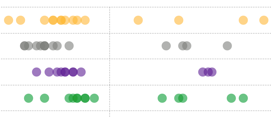
- I find the shift from the '06-'08-'10 triplet to the '12-'14-'16 triplet pretty striking
Certainly, others have previously examined these distributions over different years (see here, here, here, and here, e.g.) with more useful metrics applied, but perhaps this visual will be a helpful way for some viewers to grasp the story.
Big thanks to Sam Wang and Brian Remlinger at the Princeton Gerrymandering Project for their help.
If time allows, I'd like to improve the chart by ditching the Y-axis, adding a band to better indicate the competitive range, and including a red/blue color scheme to emphasize the partisan divide.
If folks have other suggestions, or if anyone has seen a similar motion chart or animation related to gerrymandering, please let me know.